
Construction Documentation Services
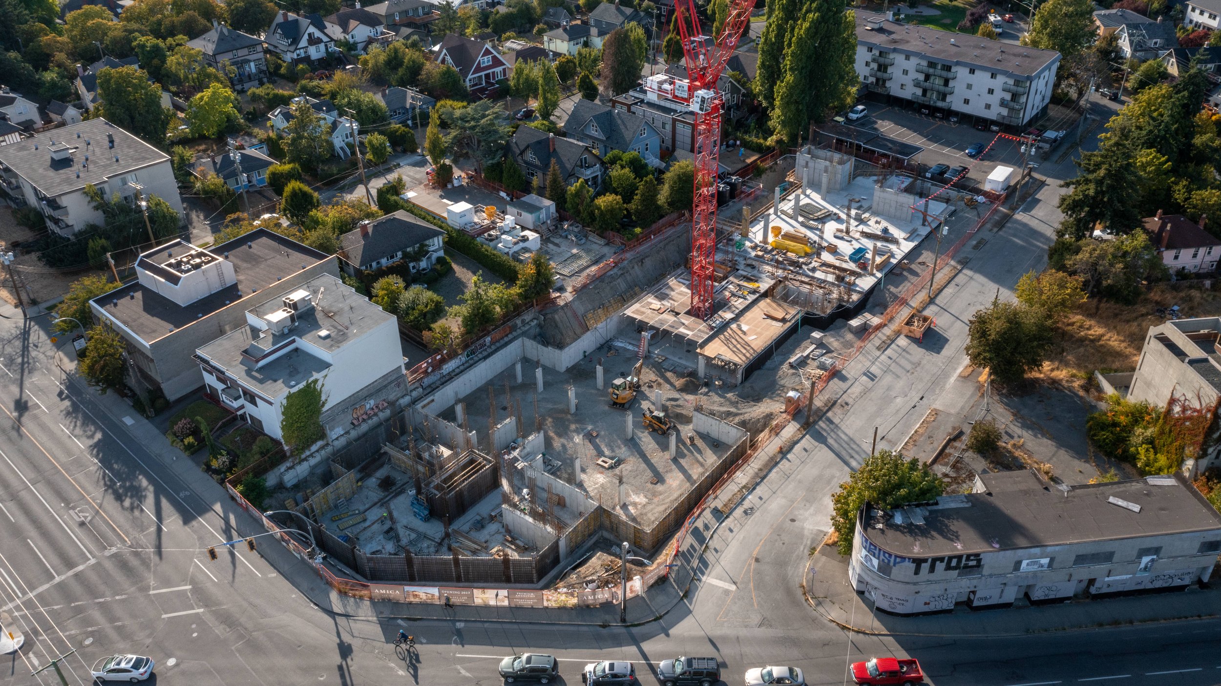
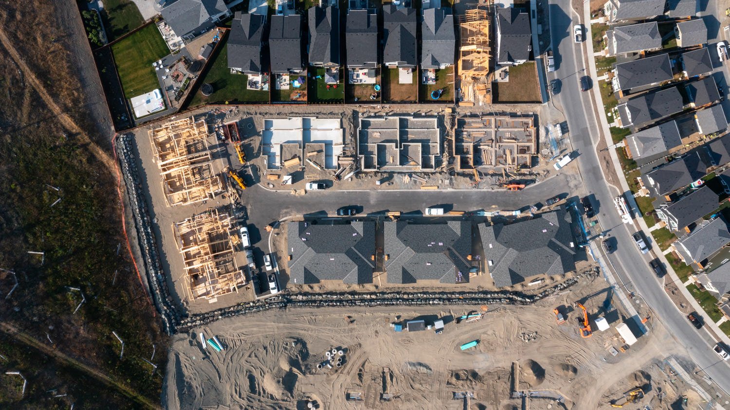
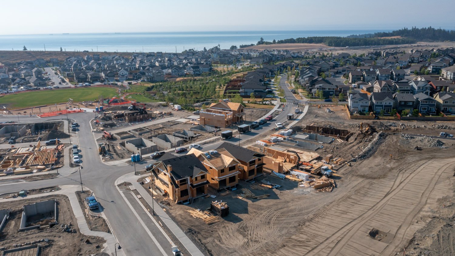
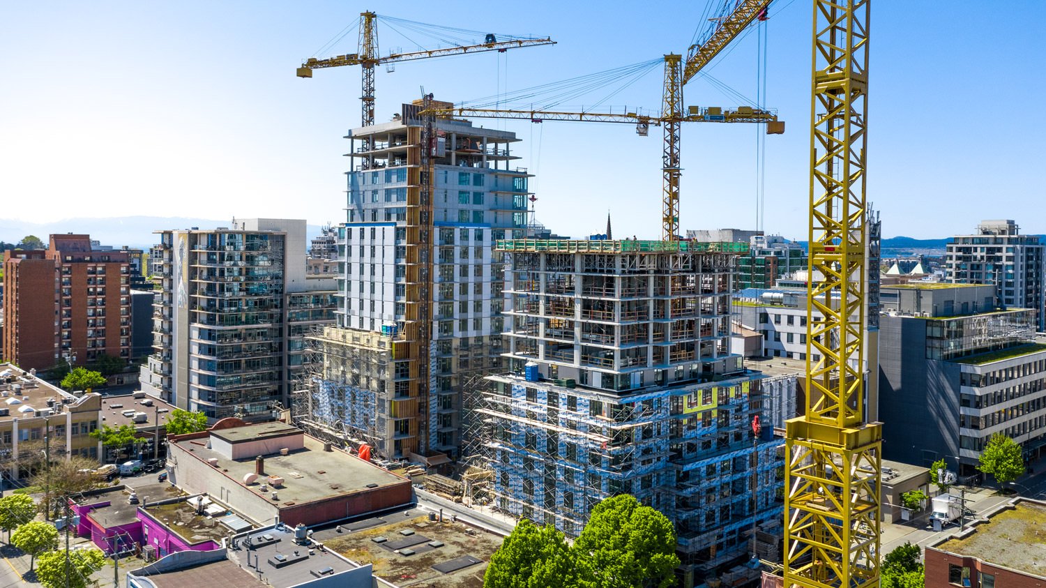
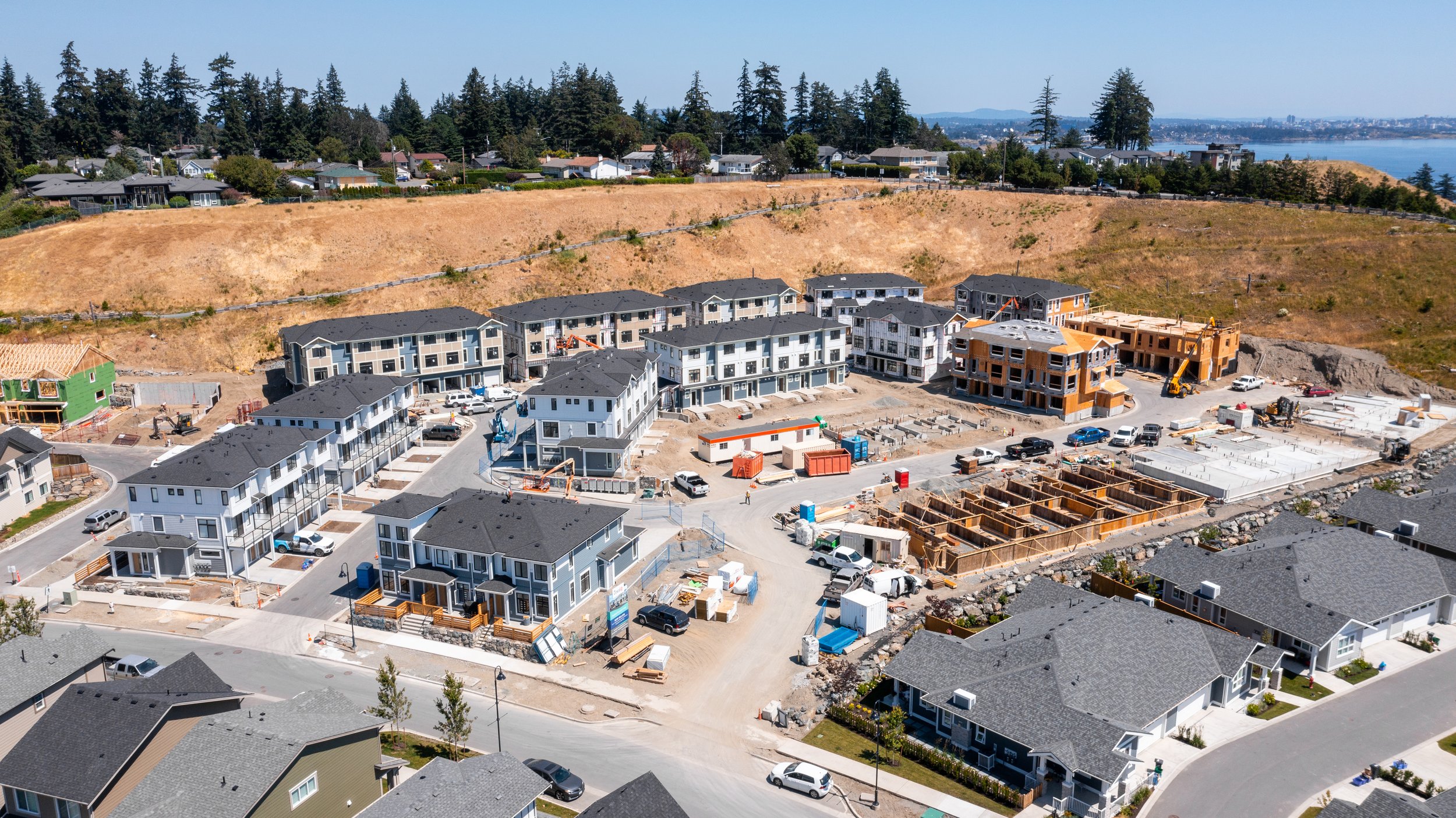
Drone Photography
High resolution drone photos of a construction site provides up-to-date marketing content and keeps stakeholders in the loop. Drone photos taken from the same location can be used for before and after comparisons as well as timelapse’s.
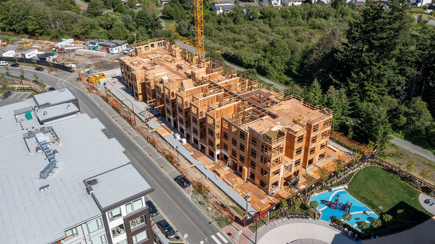
construction update videos
We create professional marketing videos that keep stakeholders in the loop and add excellent marketing material to your project. In addition, timelapse drone videography shows the progression of your site seamlessly.
AERIAL MAPPING & 3D Modelling
Easily compare progress over time, identify issues, make quick measurements, and improve internal and stakeholder communications. We use online software to host and share your aerial data, allowing you to view up-to-date imagery of your site. Need a more detailed look? Our data is exportable to many formats for CAD software if required. We use survey methods and techniques to provide accuracy levels that meet your project’s requirements. Legal surveyor verification available upon request.